

The Essex Historical Society and Shipbuilding Museum (EHSSM), is a unique institution nestled along the…
Survey Work Begins at Ipswich Mills Dam
26.
Survey Work Begins at Ipswich Mills Dam
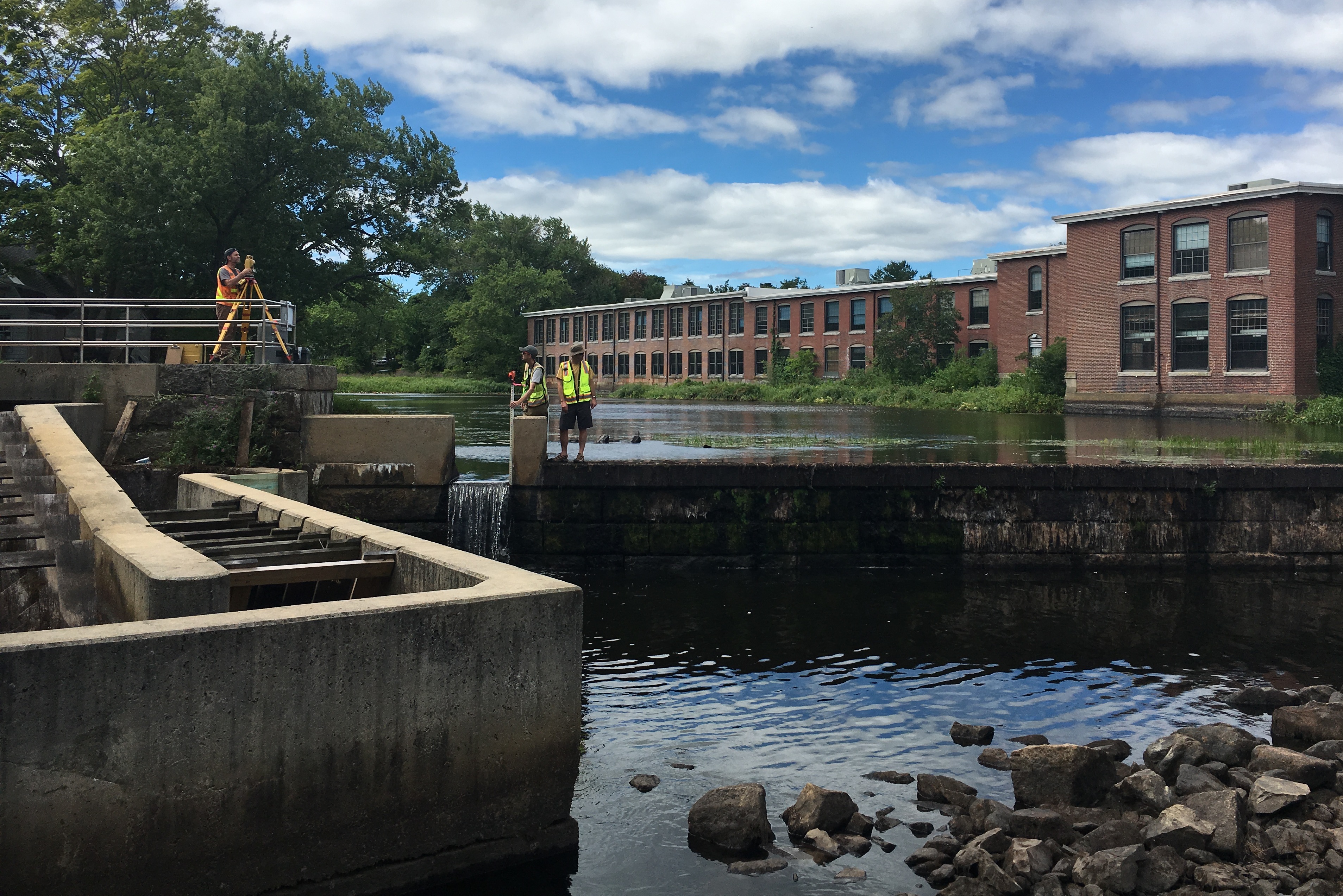
If you pass by the Riverwalk in downtown Ipswich over the next few weeks, you may notice some unusual activity around the Ipswich Mills Dam. During the second half of August 2016, a team of scientists and engineers working on behalf of the Town of Ipswich will be out in the field collecting information on a variety of aspects of the dam, the riverbed and the infrastructure upstream and down from the dam. This is part of the Ipswich Mills Dam Removal Feasibility Study, a multi-part investigation of various aspects of the dam and its surroundings. This study will not result in any changes to the dam or its operation and the Town has made no decision whether to keep or remove the dam. For more information on the current study phase, please see the flyer, visit the Ipswich Planning Department Website or contact Ethan Parsons (Ipswich Senior Planner).
During this survey work you may see:
- Professional divers digging exploratory test pits in the riverbed near the EBSCO buildings (visible from the Riverwalk).
- Surveyors in the river in the stretch from the MBTA bridge to the County Street bridge collecting data on the width, depth and shape of the river channel as well as locations of infrastructure that may be affected by dam removal.
- Temporary lowering of the water level upstream of the dam to facilitate test pit safety and improve survey conditions. This will be a short term lowering and after 1-2 weeks of survey work the dam gate will be closed and the pond will be allowed to refill to its regular water level. During the survey, the water level upstream of the dam may be as much as 1.5 – 2.5 feet lower than normal summer conditions. While this water level will be unusually low, it is on par with water level lowering that has taken place in the past as part of dam inspection and maintenance activities.
- Inspection of the dam
- Crews of researchers and volunteers monitoring the changes in water level and recording other biological and physical information in the pond.

Ipswich River Watershed’s Restoration Program Manager Brian Kelder takes a break from the August heat and installs a staff gauge and water level meter near the MBTA bridge over the Ipswich River. Volunteers are needed to help take data from the gauges – no swimming required!
How you can help – Volunteers Needed!
The Ipswich River Watershed Association will be organizing volunteer activities, including a river cleanup and photo documentation of the lower pond level during this short period of low water. Anyone interested in participating in this effort should contact Ryan O’Donnell:(rodonnell@ipswichriver.org, 978-412-8200)
We are excited to see this project move forward and are pleased to be part of the team. We look forward to seeing the results of this study in 2017.

Related Posts

Comments (0)