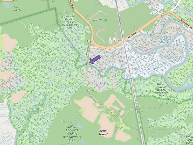
Kent’s Island Creek Restoration
This project improved tidal flow to 47 acres of coastal salt marsh in the William…
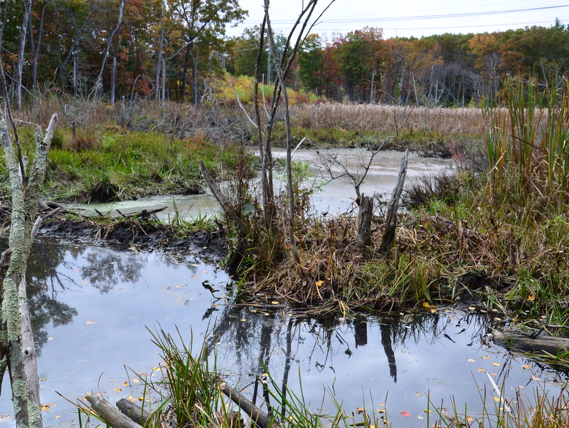
Heterogeneity in a Suburban River Network
Heterogeneity in a suburban river network: Understanding the influence of fluvial wetlands on oxygen conditions…
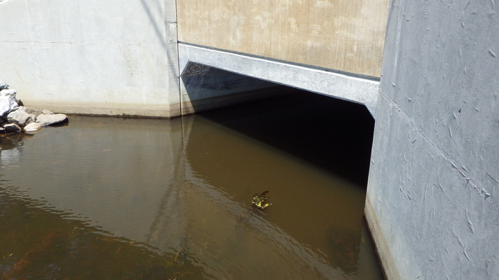
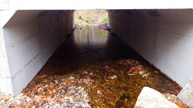
West Street Culvert Replacement – Parker River
Inlet of newly installed box culvert that passes the Parker River under West Street in…
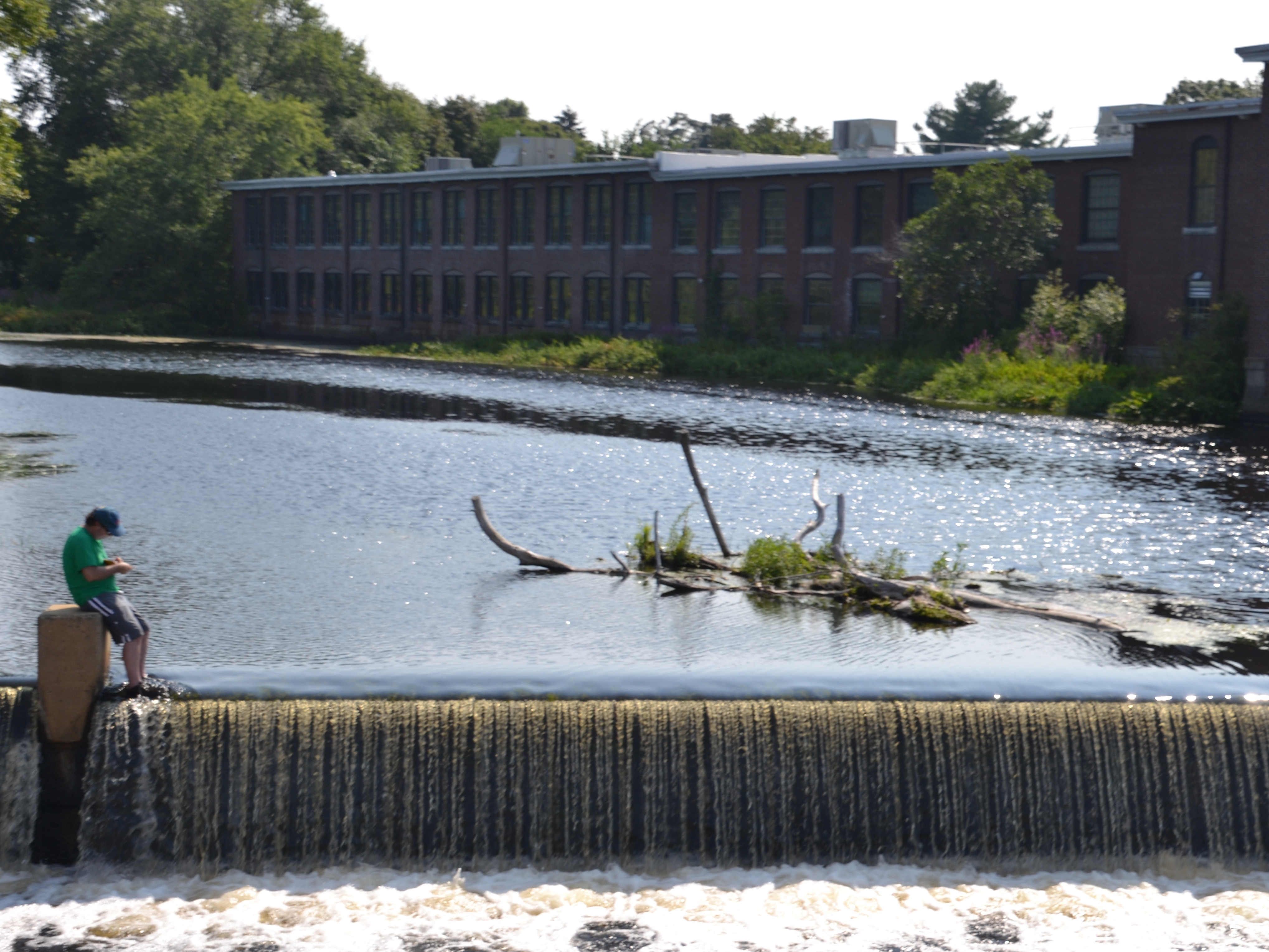
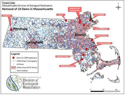
Ipswich Mills Dam Removal
Ipswich Mills Dam from the Riverwalk foobridge with EBSCO Publishing buildings in the background
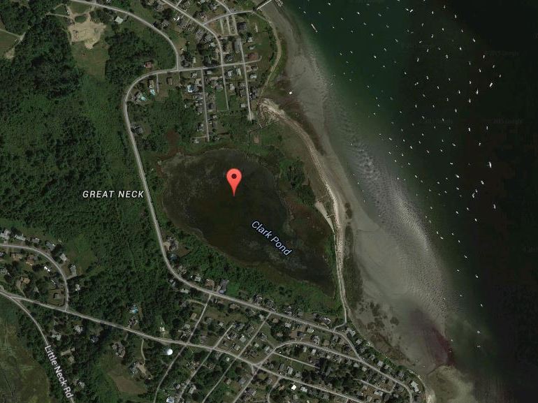
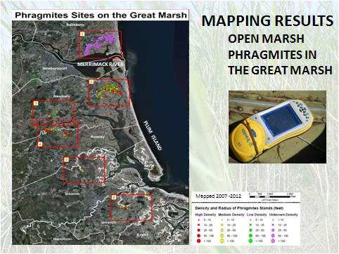
Invasive Phragmites Eradication at Clark Pond
Ten acres of phragmites monoculture were eradicated using herbicide surrounding Clark Pond in Ipswich in…
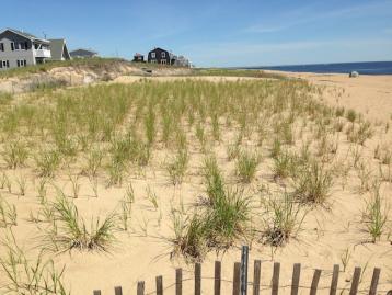
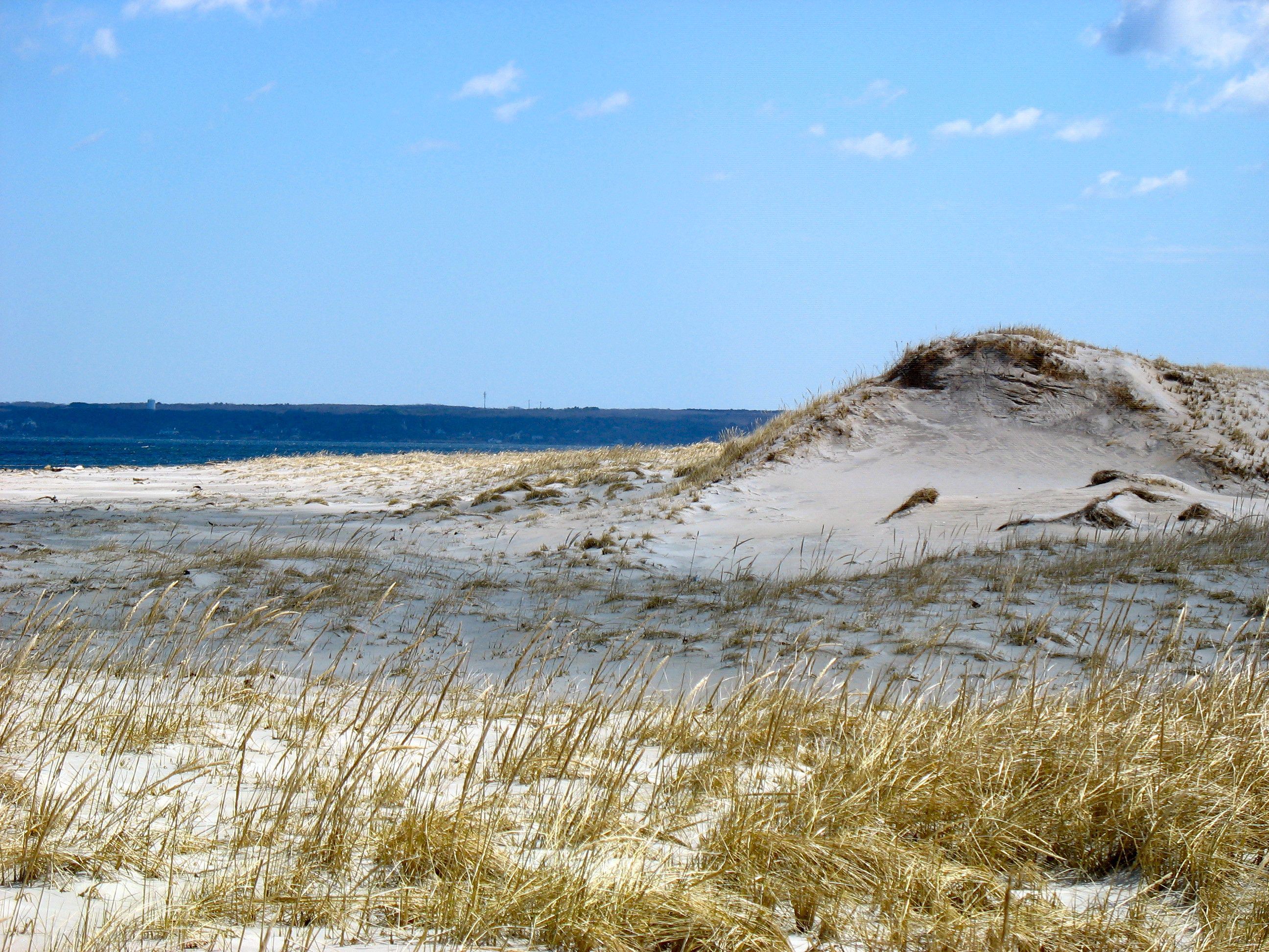
Beach Dune Restoration: Newbury, Newburyport, & Salisbury
Phase 1: Dune nourishment and re-vegetation in Newbury, MA using innovative fencing and native vegetation…
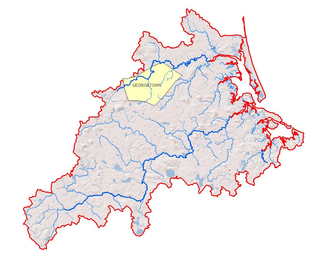
Georgetown Low Impact Development (LID) Bylaws
Location of the Town of Georgetown within the PIE-Rivers region
Maplecroft Farm Land Protection
In 2010, the Town of Ipswich, The Trust for Public Land, Essex County Greenbelt and…
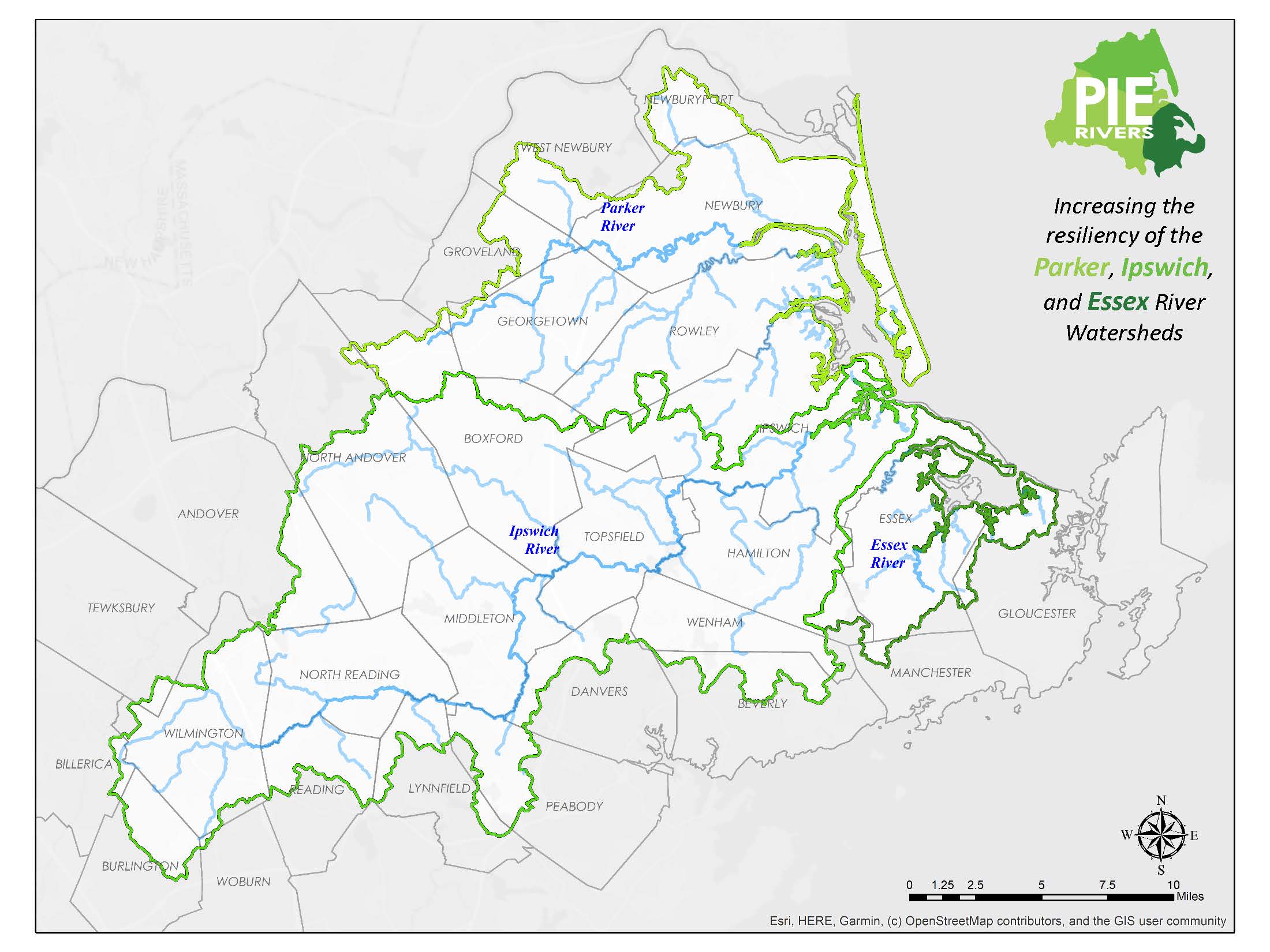
Promoting Natural Resources Stewardship and Managing Growth Wisely in Essex County
Project Title: Promoting Natural Resources Stewardship and Managing Growth Wisely in Essex County Watersheds: Parker,…
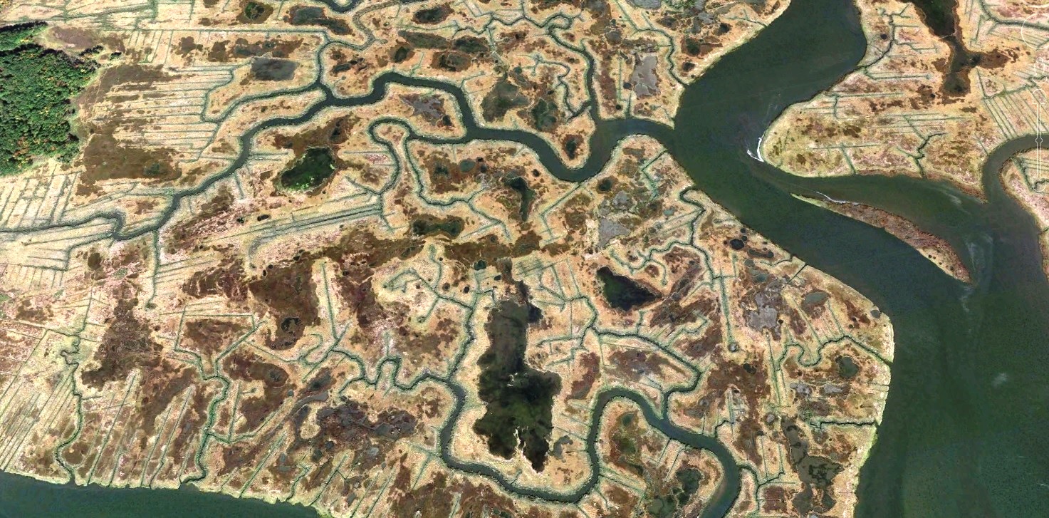
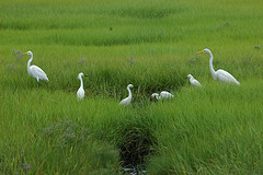
Addressing Impaired Salt Marsh Hydrology
Conservation organizations in the Great Marsh have been noticing concerning trends in the region's salt…
Newburyport Dune Enhancement and Restoration
Ten acres of sand replenishment and dune stabilization at State Beach using imported sand.
Notre Dame Land Protection
After a 3 year process, the Essex County Greenbelt protected a 70-acre portion of the…
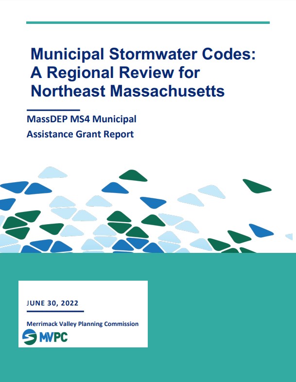
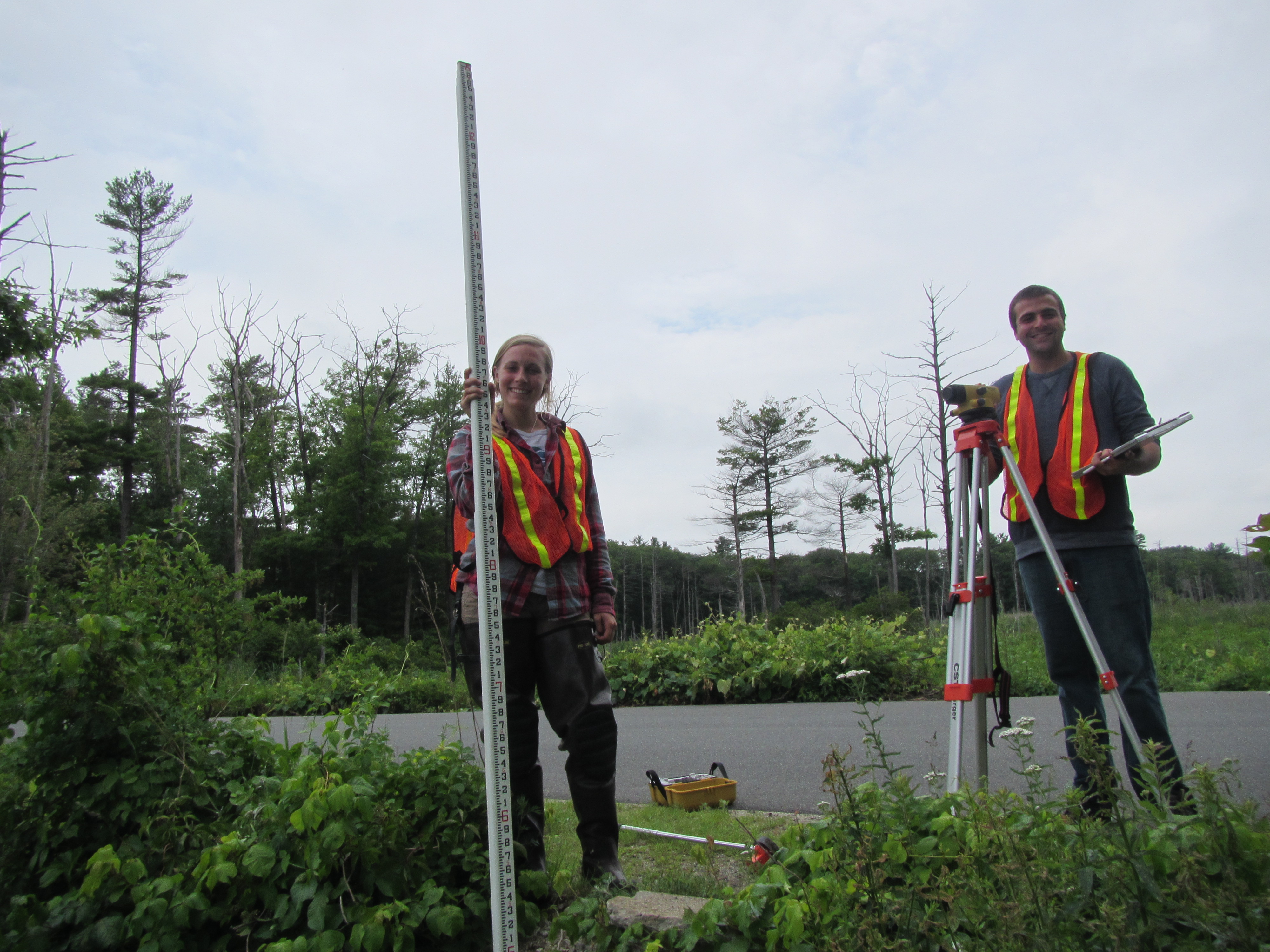
Municipal Stormwater Codes: A Regional Review for Northeast Massachusetts
The Merrimack Valley Planning Commission, in partnership with the Merrimack Valley Stormwater Collaborative, Ipswich River…
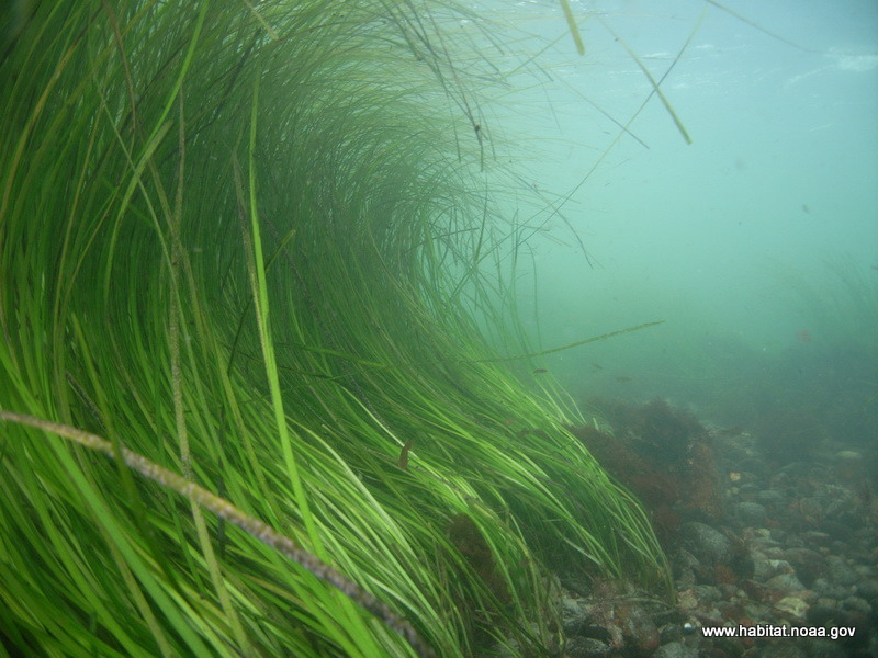
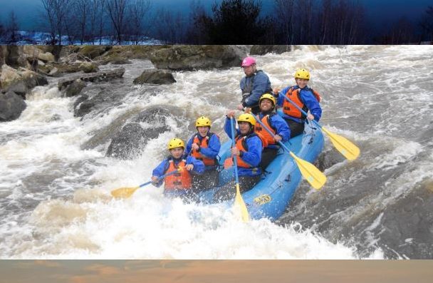
Eelgrass Restoration in Plum Island Sound and Essex Bay
The Eelgrass Restoration and Green Crab Monitoring Program is a component of the overall Great…