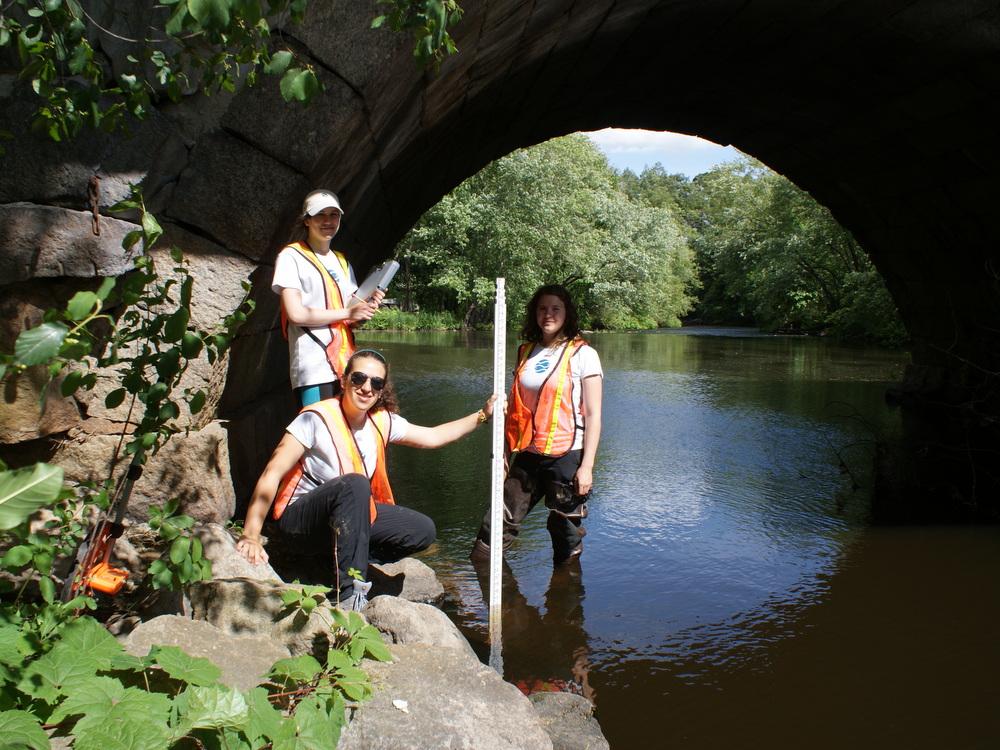
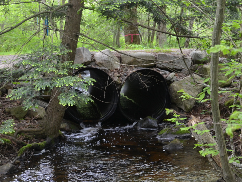
PIE Rivers Stream Continuity Survey
Ipswich River Watershed Interns conducting road-stream crossing surveys in 2014. From left to right: Shannon…
Heterogeneity in a Suburban River Network
Heterogeneity in a suburban river network: Understanding the influence of fluvial wetlands on oxygen conditions…
Maplecroft Farm Land Protection
In 2010, the Town of Ipswich, The Trust for Public Land, Essex County Greenbelt and…
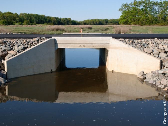
Old Essex Road Improvements & Castle Neck River Restoration
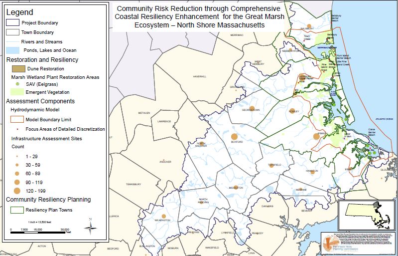
In August of 2023, the Town of Ipswich was awarded an MVP Action Grant in…
Water Quality Restoration Program Roadmap
Project Title: Water Quality Restoration Program Roadmap Watershed: Ipswich River Municipalities: Middleton, Danvers This project aims to expedite…
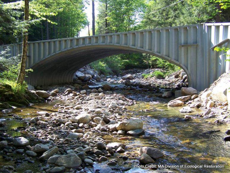
Improving Stream Crossings Workshops
Improved Stream Crossings: Flood-Resilient, Fish-Friendly . . . [Workshops]
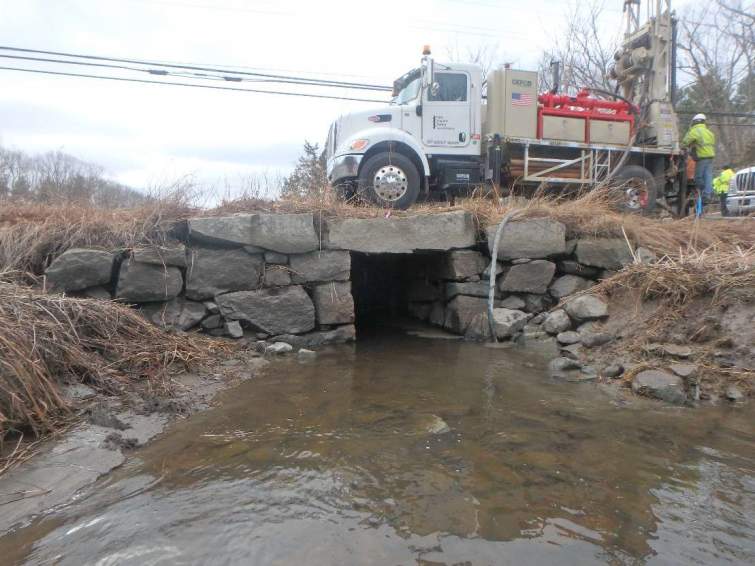
Crooked Pond Brook Culvert Replacement
Before and after photos of the project site (hover over picture to see after photo)…
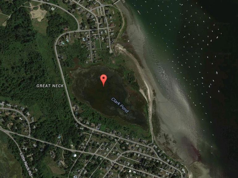
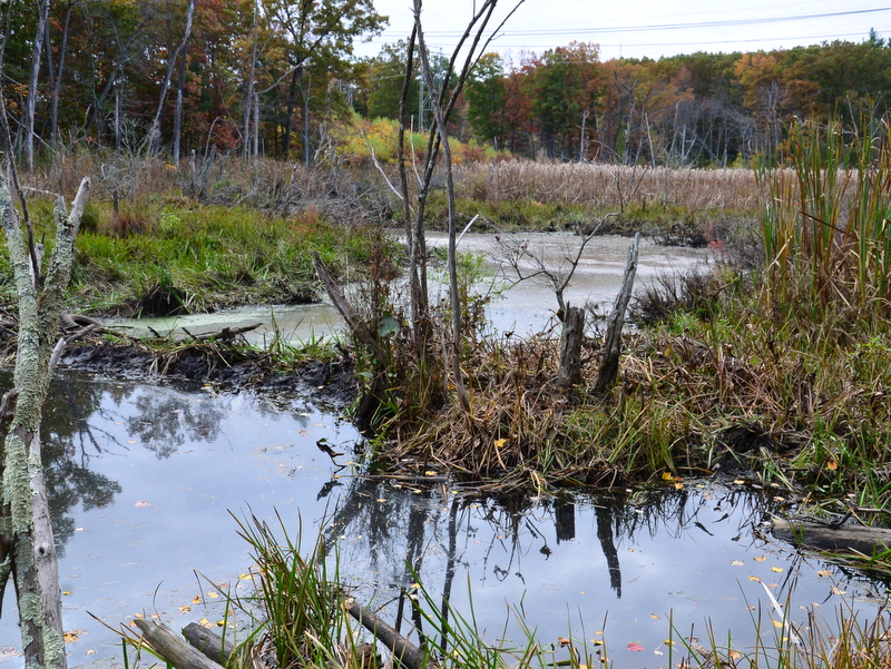
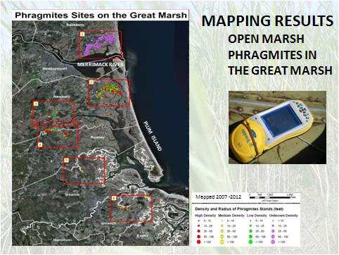
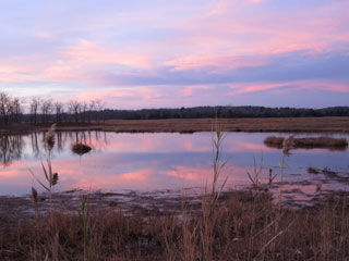
Invasive Phragmites Eradication at Clark Pond
Ten acres of phragmites monoculture were eradicated using herbicide surrounding Clark Pond in Ipswich in…
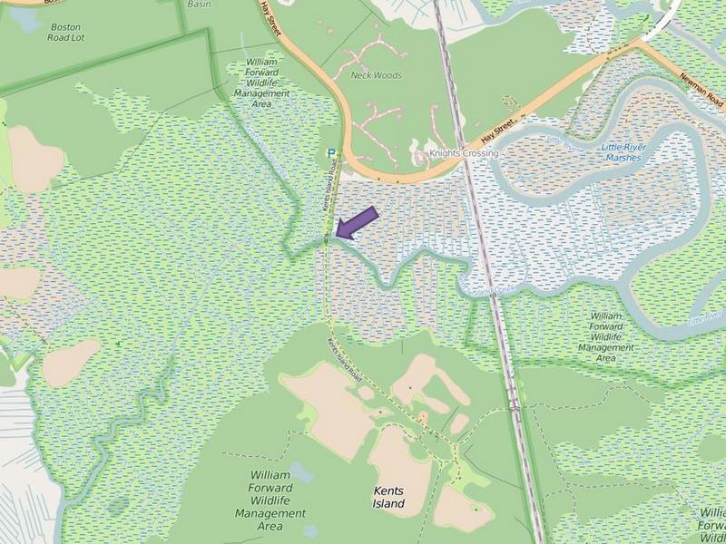
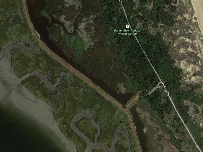
Kent’s Island Creek Restoration
This project improved tidal flow to 47 acres of coastal salt marsh in the William…
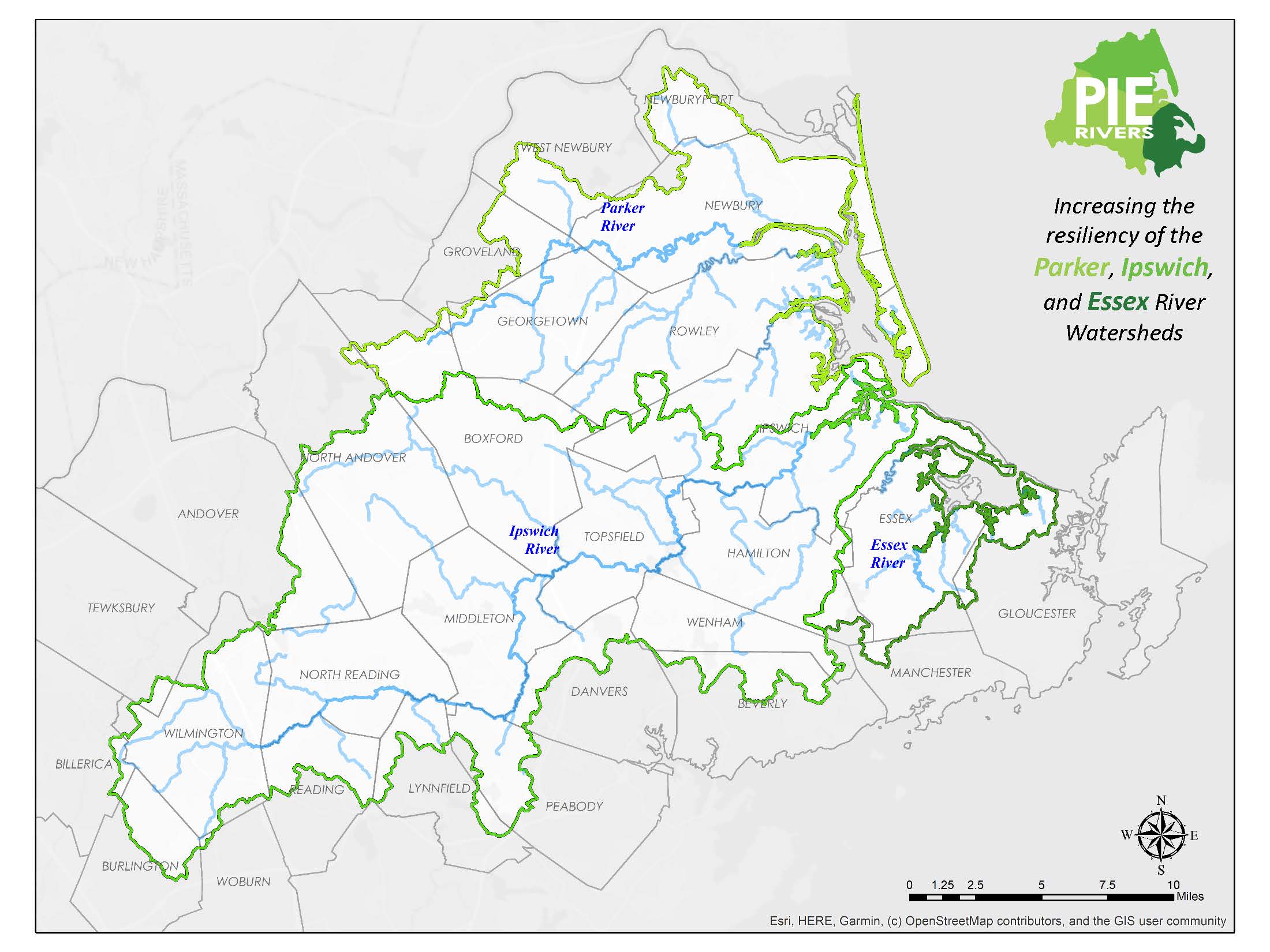
Promoting Natural Resources Stewardship and Managing Growth Wisely in Essex County
Project Title: Promoting Natural Resources Stewardship and Managing Growth Wisely in Essex County Watersheds: Parker,…
Rotary Grant Funded Toolkit for Water Conservation and Advocacy
This work focuses on the development of a toolkit for water conservation and water advocacy…
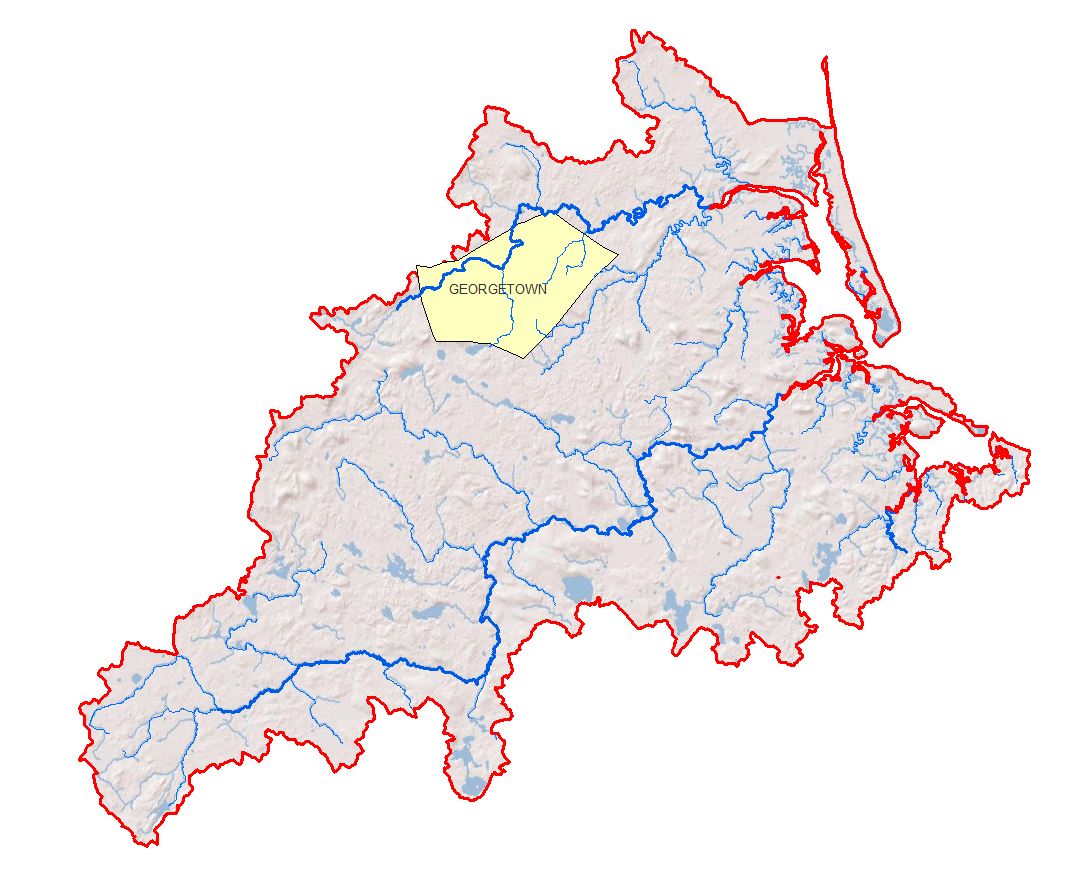
Georgetown Low Impact Development (LID) Bylaws
Location of the Town of Georgetown within the PIE-Rivers region
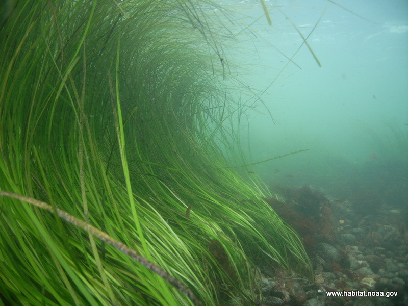
Eelgrass Restoration in Plum Island Sound and Essex Bay
The Eelgrass Restoration and Green Crab Monitoring Program is a component of the overall Great…