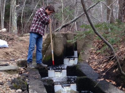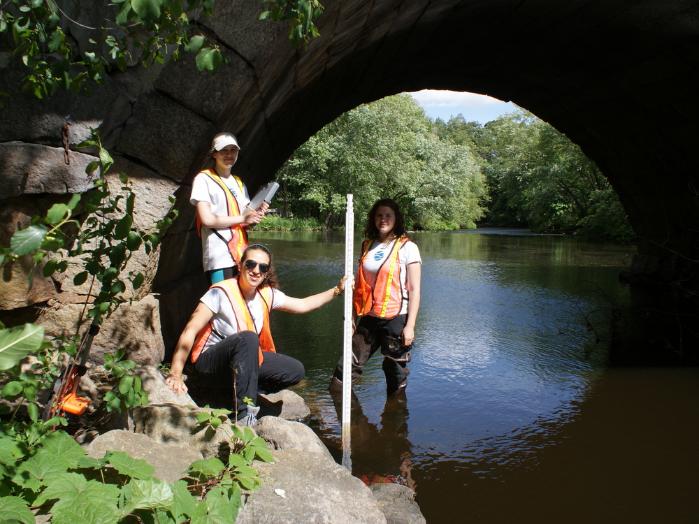
Ipswich River Watershed Interns conducting road-stream crossing surveys in 2014. From left to right: Shannon Gentile, Emily Korman and Cassie Tragert.
Toolkit and Actions
Science and Prioritization
Lead Organization: Ipswich River Watershed Association
Project Contact: Brian Kelder (IRWA)
About the Project
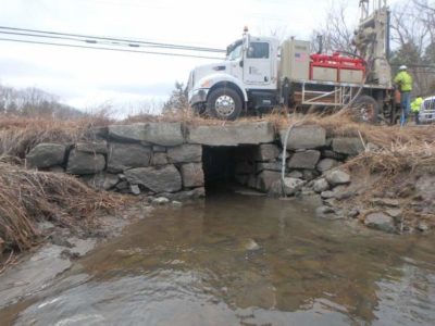
Very few road-stream crossings were designed with the movement of fish and wildlife in mind and many present partial or complete barriers to migration for a variety of species. Additionally, many bridges and culverts are undersized, improperly placed or blocked such that they can pond water in much the same way dams do, especially on smaller tributaries. It is important to know which bridges and culverts block migration and impair habitat as we increase efforts to restore fish and wildlife populations in the region.
In 2006 the Ipswich River Watershed Association began working with partner organizations and volunteers to survey the crossings as part of the UMass Extension regional River and Stream Continuity Project. Between 2006 and 2012 we were able to measure and score over 100 (20%) of the crossings in the Ipswich watershed for wildlife passage.
Thanks to a generous grant from the Massachusetts Environmental Trust, the survey effort was expanded to cover the neighboring Parker and Essex Rivers to cover the region of interest for the Parker-Ipswich-Essex Rivers Restoration Partnership (PIE-Rivers). With help from this funding and a related survey effort by the MA Department of Environmental Protection, more than 700 of the 258 mi2 PIE-Rivers region’s crossings were surveyed by the end of 2014.
The survey results are publicly available and provide important information to support decision making and prioritization efforts for municipalities and other entities that own and maintain these structures.


