Status
2015 – 2017
Toolkit and Actions
Community Involvement
Science and Prioritization
Project Team
- National Wildlife Federation
- Ipswich River Watershed Association
Project Contact: Kristen Grubbs (Ipswich River Watershed), 978-412-8200
About the Project
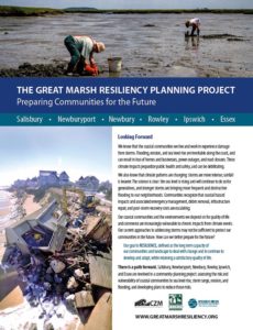
The Great Marsh Resiliency Planning Project is a component of the overall Great Marsh Resiliency Project.
Recognizing that public and private assets in the Great Marsh are at increasing risk from climate change events,
including coastal storms, sea level rise, inland flooding, and erosion, the planning project is
two-fold: assessing those risks and vulnerabilities, and developing plans to reduce those risks.

The towns of Salisbury, Newburyport, Newbury, Rowley, Ipswich, and Essex are partnering with the National Wildlife Federation and the Ipswich River Watershed Association in this community planning project. The project will conclude with detailed coastal resiliency adaptation plans for each of the six towns and the Great Marsh region as a whole. The plans will build off of existing work in the towns and will assist the communities with future decision-making and planning.
There are several components of the Resiliency Planning Project:
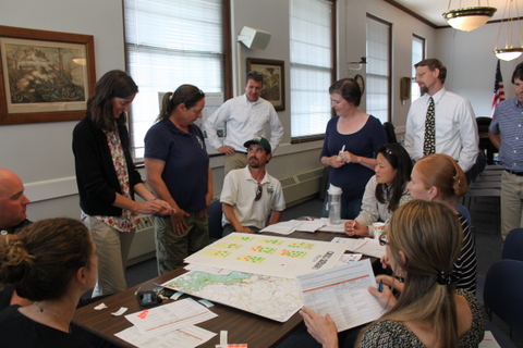
Municipal Task Forces Community Resiliency task forces in Salisbury, Newburyport, Newbury, Rowley, Ipswich, and Essex were convened in 2015 and meet regularly with planning partners.
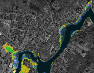
Maps New inundation maps produced by the environmental consulting firm Woods Hole Group have provided the towns engaged in the Resiliency Planning project with fine-scaled flooding and sea level rise scenarios.
Enhanced Outreach A grant received by Essex from the MA Office of Coastal Zone Management’s 2015 Coastal Community Resiliency Grant Program supports enhanced outreach and education.
COAST Analysis of Newburyport COAST, a coastal adaptation and strategy tool, was run for the City of Newburyport
to summarize future building damage from storm surge and sea level rise.

Marsh Adaptation Strategy Tool A modeling tool was employed to take a look at places where salt marshes might be migrating in the Great Marsh.
USGS Vulnerability Analysis Scientists from the United States Geological Survey (USGS) are running a socio-economic analysis on the risk the Great Marsh communities are facing from coastal flooding.
A Closer Look at Living Shorelines Community members and non-profit partners gathered for a day-long workshop on “living shorelines”, the use of nature-based strategies to protect shorelines and maintain valuable habitat.
Student Projects: Many regional students and teachers are engaged in efforts to understand how their local communities are vulnerable to climate change.
- Essex Tech Students Study Plum Island Beach Movement
- Local Students Give Presentations on Sea Level Rise and Storm Surge Impacts in Danvers, Peabody, Salem, and Beverly
- Ipswich High Students Explore Sea Level Rise
- Climate Change in Coastal Communities: Facebook forum
