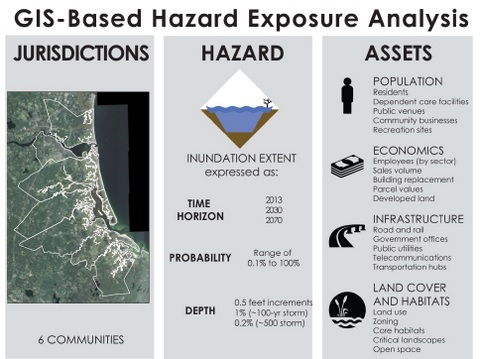
Scientists from the United States Geological Survey (USGS) are running an analysis on the risk certain elements of the Great Marsh communities are facing, including economic impacts to businesses and employees, to roads and other infrastructure, and to open space and recreational areas. The analysis will use highly detailed flooding data produced in 2015 by the consultants the Woods Hole Group. USGS will prioritize the results based on task force input.
The project has received preliminary results from this analysis. After receiving final review from the USGS, these results will be incorporated into the towns’ vulnerability reports.

