 Please Join us on November 21 for the Barrier Mitigation Workshop
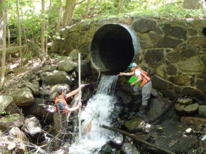
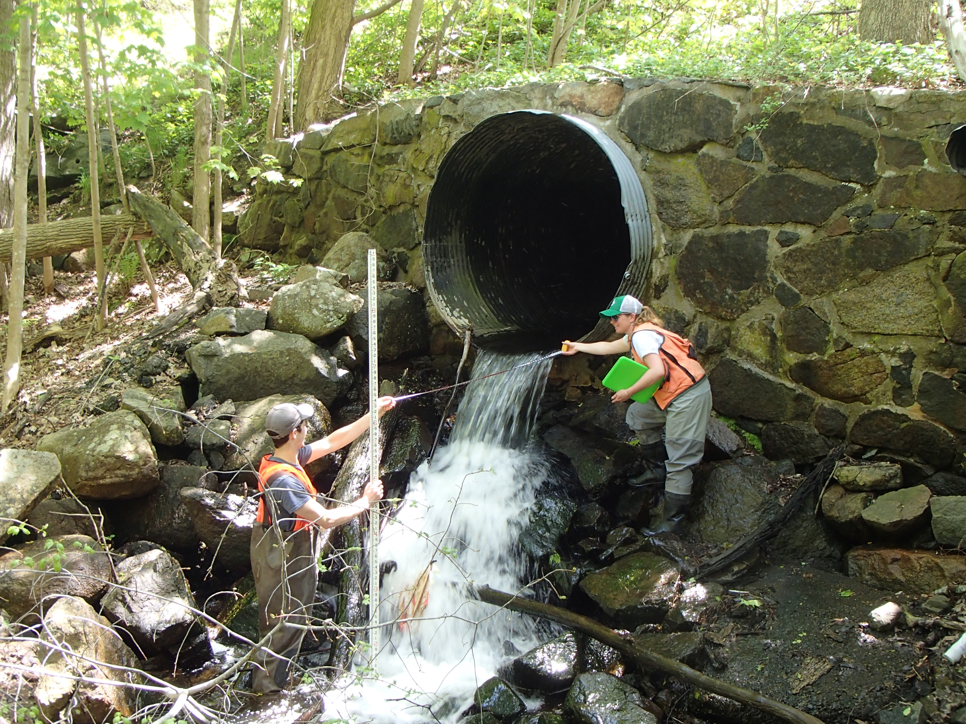
Thanks to the generous support of the MassBays Healthy Estuaries Grant Program, we have been working with municipalities and barrier owners to reduce the impact of aquatic barriers in the Great Marsh region, to enhance its ecological health. Many of these structures have aged past their design life and are in need of replacement or removal, while others were not designed to effectively pass wildlife or to manage high flows associated with extreme weather. The recently completed Great Marsh Barriers Assessment provides a comprehensive regional assessment of barriers to streamflow and tidal exchange. With grant funding, the Ipswich River Watershed Association (IRWA) will work with communities to implement the recommendations of the Barriers Assessment and identify 15-20 barrier mitigation projects and bring them a step closer on-the-ground implementation of restoration. IRWA will hold training workshop focusing on lessons learned, and opportunities to implement the approach beyond the region. Final Report available early 2020!
To access the Tools developed as part of this project, see below.
Refine Barrier Maps: For communities without a comprehensive barriers report, the NAACC database is the first place to find information about the barriers in your region. Follow the instructions provided below to download available barrier data and use the MassGIS Online Mapping Tool to identify previously un-surveyed barriers. ArcMap or GoogleEarth are useful for mapping NAACC datasets and overlaying MassGIS data layers, however they are not required to conduct this desktop level review.
Identify Ownership: Identifying roadway ownership can be accomplished through the use of online viewers. The use of the MassDOT Road Inventory will determine if the road is State owned. MassDOT uses mile markers to identify positions along roadways, therefore if you have questions about a structure along a State road, it is useful to identify the nearest mile marker for ease of identification. MassGIS Oliver contains numerous layers that can be useful when identifying ownership.
Engage Barrier Owners: In order to engage barrier owners, it is important to understand perspectives on barrier ownership. The following resources can help.
Prioritize Barriers: These resources can be used to refine priorities or bolster grant applications for funding.
Additional Fisheries Resources:
The Nature Conservancy Atlantic Coast Alosine Prioritization Index
Status of River Herring on the North Shore of Massachusetts, Tim Purinton, Frances Doyle and Dr. Robert D. Stevenson, 2003
The Marine Resources of the Parker River-Plum Island Sound Estuary: An Update after 30 Years, Robert Buchsbaum,Tim Purinton, Britta Magnuson, 2016
A Report Upon the Alewife fisheries of Massachusetts. David L. Belding, Division of Fisheries and Game. 1921.
The Decline of Fisheries Resources in New England, Edited by: Robert Bauchsbaum, Judith Pearson, William E. Robinson
A Study of the Marine Resources of the Parker-River Plum Island Sound Estuary, DMF Monograph Series Number 6. William Jerome, Jr., Arthur P. Chesmore, and Charles O. Anderson Jr. March 1968 (Available in print)
Please contact
kshaw@ipswichriver.org with questions.
 Please Join us on November 21 for the Barrier Mitigation Workshop